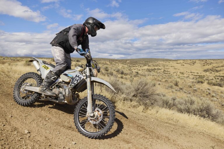
Motorcycle Riding
Find amazing paved, dual-sport, and offroad rides through some of the most scenic countryside around.


Find amazing paved, dual-sport, and offroad rides through some of the most scenic countryside around.
This is an interesting and wildly scenic adventure ride with a mix of asphalt, gravel, and dirt roads the root is suitable for all dual sport motorcycles large or small. FR-77 follows Eagle Creek along the southwest base of the Wallowa Mountains. We’re not kidding about the scenery – bring your camera! A point of interest along the way is the geographic center of the 50 states at Pondosa.
Ride type: dual sport
Distance: 138 miles
Difficulty: moderate
Fuel: Halfway (around mile 80)
Food: Halfway, Richland
Route start and end: Broadway in Main in Baker City
This route through the northern part of the Baker Valley features a mix of asphalt, gravel, and dirt roads. The route is suitable for all dual sport motorcycles, larger or small. Points of interest along the way include Wolf Creek Reservoir, Hot Lake Hot Springs, Catherine Creek Divide, the geographic center of the 50 states at Pondosa, and great views of the Wallowa Mountains.
Ride type: dual sport
Distance: 107 miles
Difficulty: easy to moderate
Fuel: Union (around mile 63)
Food: Union – a couple of restaurants and one coffee house that serves sandwiches at lunch
Route start and end: Broadway in Main in Baker City
A route south of Baker City with a mix of asphalt, gravel and dirt roads. The route is suitable for all dual sport motorcycles large or small and is classed as an easy to moderate ride. There is fuel available in Durkee on the north side of Interstate 84 (turn right instead of left at mile 77.1 for about 1 mile, then turn left under the freeway to the gas station on the north side). There is no food available on the route other than at the gas station. The route includes a transit of road 245 over Dooley Mtn. (The Tail of the Dragon of Oregon), tremendous views to the south in Mormon Basin and a run down Burnt River Canyon, (keep an eye out for mountain goats).
Ride type: dual sport
Distance: 100 miles
Difficulty: moderate
Fuel: Durkee (mile 77)
Food: Durkee gas station
Route start and end: Broadway in Main in Baker City

The Hells Canyon BDR-X is a 520-mile off-pavement motorcycle loop that circumnavigates Hells Canyon, the deepest river gorge in North America. At 7,993 feet deep, Hells Canyon is nearly 2,000 feet deeper than the Grand Canyon. The route traverses both the Oregon and Idaho sides of the Snake River, connecting more than ten spectacular viewpoints and historic fire lookouts overlooking the canyon.
Riders will descend from high canyon rims to the river below before climbing back into mountain forests, experiencing elevation changes of more than 5,000 feet. Along the way, they’ll encounter diverse landscapes, changing climates, and remote backcountry roads that showcase one of the most rugged and awe-inspiring regions in the American West.
Designed as a moderate route with a few optional challenging sections, the Hells Canyon BDR-X is suitable for a wide range of adventure and dual-sport motorcycles while offering experienced riders opportunities to tackle more technical terrain.